More snow is forecast for the Okanagan, Shuswap, Nicola, South Thompson and Similkameen, as a snowfall warning continues.
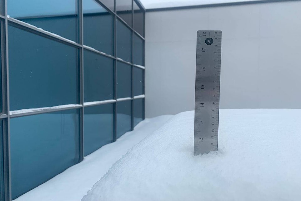
After between 15 and 20 cm of snow fell across the Interior, Environment Canada is expecting up to 5 cm more of the white stuff for Thursday.
This snowfall is brought on by an intense Pacific frontal system is moving through the region.
The heavy snow will taper off in the morning and turn to flurries, before redeveloping later in the day.
For the North Okanagan and Shuswap, 15 to 20 cm of snow is anticipated for late Thursday afternoon to Friday morning.
Temperatures across the region will range from -7 to -10 C.
Be prepared to adjust your driving with changing road conditions. Visibility may be suddenly reduced at times in heavy snow.
READ MORE: ‘Extreme powder alert’ at Big White
READ MORE: City of Kelowna enacts parking ban for downtown and Pandosy snow routes
@Jen_zee
jen.zielinski@bpdigital.ca
Like us on Facebook and follow us on Twitter and subscribe to our daily and subscribe to our daily newsletter.